les vigneaux chemin des vaches

phil21
User

Length
8 km

Max alt
1484 m

Uphill gradient
514 m
Km-Effort
14.9 km

Min alt
1084 m

Downhill gradient
508 m
Boucle
No
Creation date :
2014-12-10 00:00:00.0
Updated on :
2014-12-10 00:00:00.0
1h14
Difficulty : Medium

FREE GPS app for hiking
 SityTrail
IGN / Geographical institutes
SityTrail Plus
The world is yours!
About
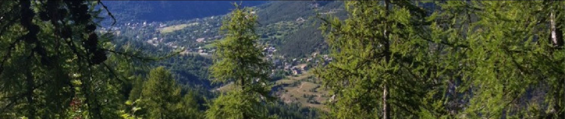
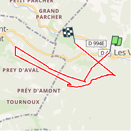
Trail Mountain bike of 8 km to be discovered at Provence-Alpes-Côte d'Azur, Hautes-Alpes, Les Vigneaux. This trail is proposed by phil21.
Photos

Positioning
Country:
France
Region :
Provence-Alpes-Côte d'Azur
Department/Province :
Hautes-Alpes
Municipality :
Les Vigneaux
Location:
Unknown
Start:(Dec)
Start:(UTM)
304951 ; 4966290 (32T) N.
Comments